


MGI Says Goodbye
The Morgenstadt Global Smart Cities Initiative (MGI) has been officially concluded. For the occasion, the MGI consortium looks back at four years of transforming cities for the future.
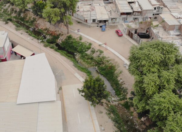
Piura Pilot Project: Transforming a neglected public space
After implementing the MGI pilot project, the residents can now use a formely neglected public space according to their requirements. Read more.
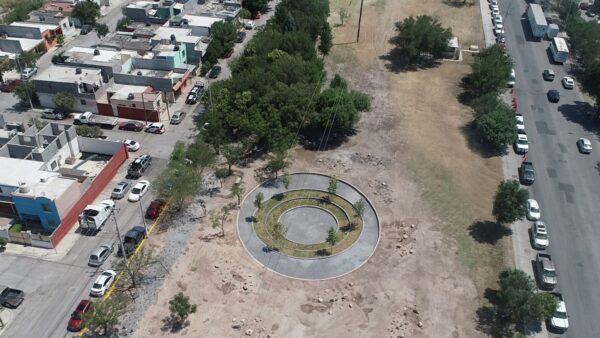
Saltillo Pilot Project offers Solutions to Floodings and Heat
The pilot project of MGI in Saltillo has been successfully implemented. The newly inaugurated park offers solutions to floodings, heat, and biodiversity loss.